
Review the supporting maps
The following maps help explain existing conditions and the policy context for the proposed bylaws. Select a map to open the full-size PDF.
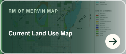 Current Land Use - Shows the current pattern of agricultural, residential, recreational, commercial, and other uses.
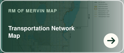 Transportation Network - Shows the road and transportation network relevant to access, growth, and development review.
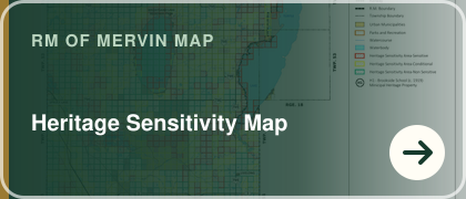 Heritage Sensitivity - Identifies areas where heritage review or additional consideration may be appropriate.
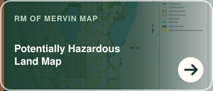 Potentially Hazardous Land - Identifies areas where flooding, slope, wildfire, or other land hazards may require additional review.
 Resources - Shows resource-related features relevant to agriculture, energy, aggregate, and land-use planning.